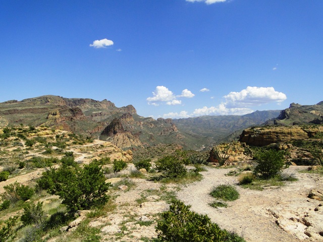
Szlak Apaczów jest dawną drogą dyliżansów przez góry Superstition (2013) / Apache Trail is the former stagecoach route through the Superstition Mountains (2013)
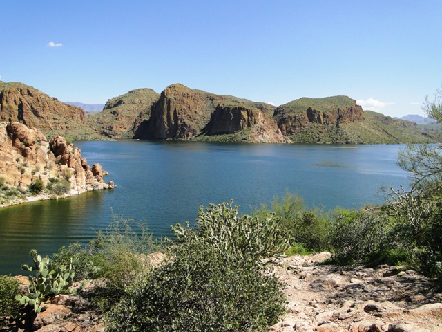
Jezioro Canyon znajduje się na obszarze szlaku Apaczów (2013) / Canyon Lake is located in the Apache Trail (2013)
Jezioro Canyon znajduje się na obszarze szlaku Apaczów (2013) / Canyon Lake is located in the Apache Trail (2013)
Szlak Apaczów jest dawną drogą dyliżansów przez góry Superstition (2013) / Apache Trail is the former stagecoach route through the Superstition Mountains (2013)
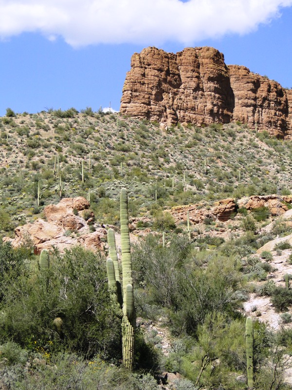
Góry Superstition przez które biegnie szlak Apaczów (2013) / Superstition Mountains through which runs the Apache trail (2013)
Montezuma Castle w pobliżu Camp Verde – został ustanowiony pomnikiem narodowym w 1906 roku przez prezydenta Theodore’a Roosevelta (2013) / Montezuma Castle near Camp Verde – the national monument was established in 1906 by President Theodore Roosevelt (2013)
Montezuma Castle – ruiny osady zbudowanej w pionowym urwisku przez prekolumbijski lud Sinagua około 700 roku naszej ery (2013) / Montezuma Castle – the ruins of settlements built in the vertical cliff by the pre-Columbian Sinagua people around 700 AD (2013)
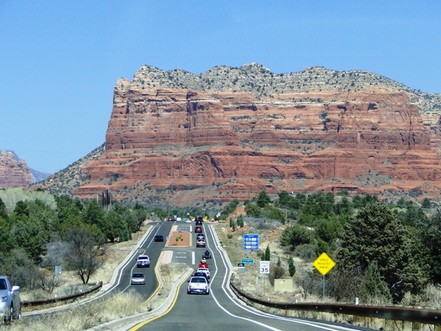
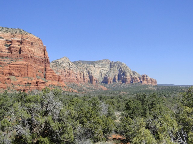
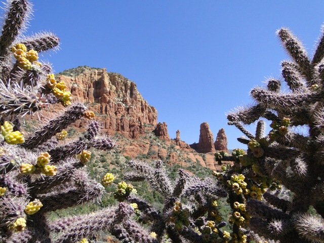
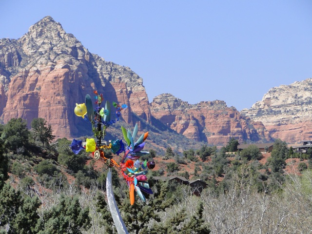
W drodze do Red Rock State Park (2013) / On the way to Red Rock State Park (2013)
Red Rock State Park (2013)
Red Rock State Park (2013)
Red Rock State Park (2013)
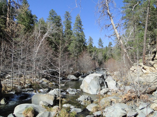
Rzeka Oak Creek (2013) / Oak Creek river (2013)
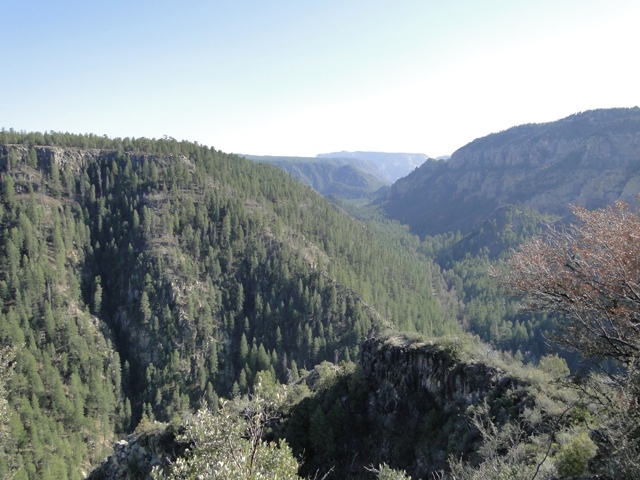
Kanion Oak Creek (2013) / Oak Creek Canyon (2013)
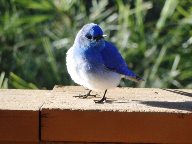
Błękitnik górski / Sialia currucoides / Blue bird (2013)
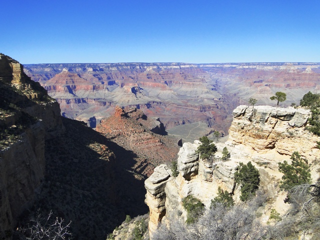
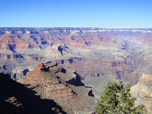
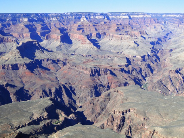
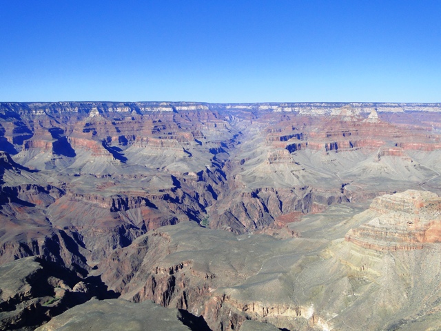
Wielki Kanion oglądany z południowej krawędzi (South Rim). Długość kanionu to 446 km, szerokość do 29 km i głębokość 1,6 km (2013) / Grand Canyon viewed from the southern edge (South Rim). Length of the canyon is 446 km, width up to 29 km and a depth of 1.6 km (2013)
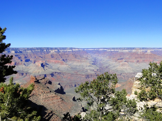
Wielki Kanion widziany z południowej krawędzi (South Rim), najbardziej dostępnej w całym parku. Wznosi się na wysokość 2134 m nad poziomem morza (2013) / Grand Canyon viewed from the southern edge of the (South Rim) – the most accessible part of the park, averaging 7000 feet/ 2134 m above sea level.
Wielki Kanion / Grand Canyon (2013)
Wielki Kanion / Grand Canyon (2013)
Wielki Kanion / Grand Canyon (2013)
Wielki Kanion / Grand Canyon (2013)
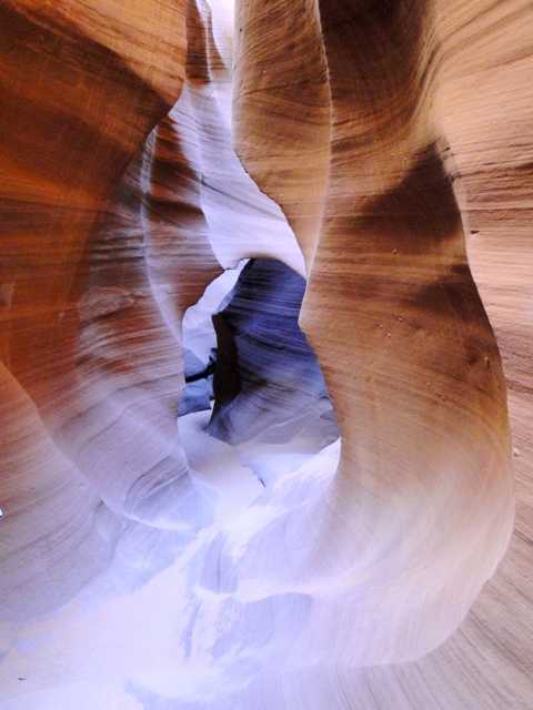
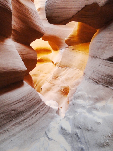
Dolny Kanion Antylopy wraz z Górnym Kanionem Antylopy należy do kanionów szczelinowych i znajduje się na terenie rezerwatu Indian Nawaho / Lower Antelope Canyon with Upper Antelope Canyon belongs to slot canyons and is located on the Navajo Indian Reservation(2013)
Kanion Antylopy powstawał przez miliony lat na skutek wymywania piaskowca przez wodę m.in. powodzie błyskawiczne i działania wiatru /Antelope Canyon was created over millions of years as a result of leaching sandstone by water such as flash floods and wind action (2013)
Dolny Kanion Antylopy dostępny jest z przewodnikiem, znajduje się w bezpośrednim sąsiedztwie Jeziora Powella i jest dłuższy niż górna część / Lower Antelope Canyon is available with a guide, located near Lake Powell and is longer than the upper part of the Antelope Canyon (2013)
Dolny Kanion Antylopy nazywany w języku Nawaho Hazdistazí „kamienne spiralne łuki” /Lower Antelope Canyon in the Navajo called Hazdistazí „spiral stone arches” (2013)
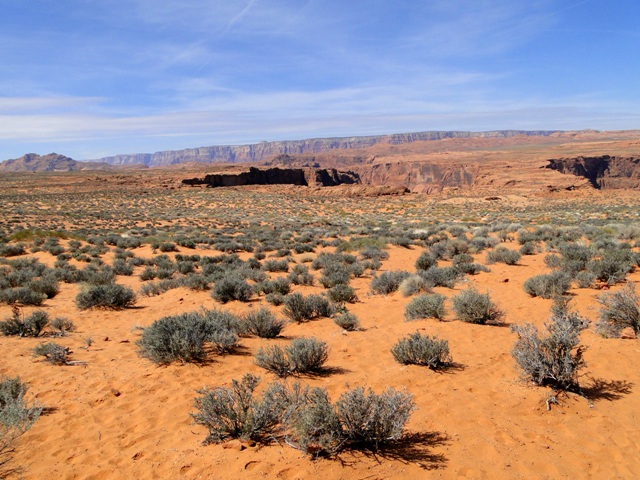
Tereny wokół Horseshoe Bend, czyli zakola rzeki Colorado w kształcie podkowy /The area around Horseshoe Bend, the bend of the Colorado River in the shape of a horseshoe (2013)
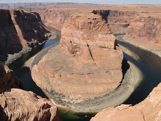
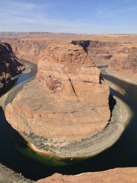
Horseshoe Bend – meander rzeki Colorado w kształcie podkowy, położony w pobliżu miasta Page /Horseshoe Bend – meander of the Colorado River in the shape of a horseshoe, is located near the town of Page (2013)
Horseshoe Bend – meander rzeki Colorado w kształcie podkowy, położony w pobliżu miasta Page /Horseshoe Bend – meander of the Colorado River in the shape of a horseshoe, is located near the town of Page (2013)







przepiękne , a ile dodatkowych informacji . Gratulacje.
Bardzo dziękuję za komentarz i ocenę 🙂
Mam nadzieję, że zarówno zdjęcia, jak i opisy zachęcają do poznawania świata 🙂
Fantastyczne zdjęcia ślicznej matki natury. Kanion Antylopy hipnotyzuje pięknymi barwami.
Karino, bardzo dziękuję, ale i tak w rzeczywistości wygląda piękniej, pozdrawiam serdecznie 🙂